Mapping the next generation of water resources
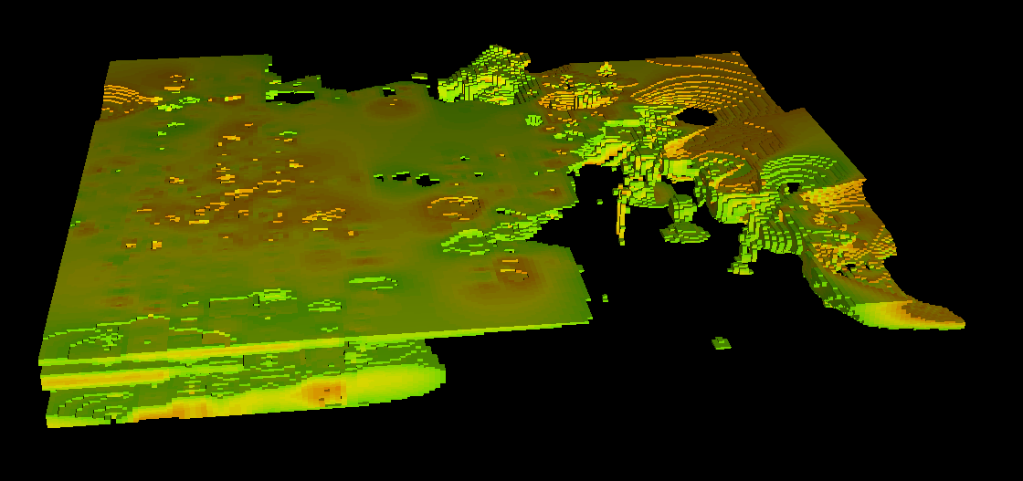
The identification of reliable groundwater aquifers demands more than traditional surface mapping, it requires the ability to see deep into the subsurface with clarity. Our advanced 3D inversion of airborne time-domain electromagnetic (AEM) data is a proven tool for imaging Quaternary channel aquifers and deep saline systems.
By partitioning the inverse problem into multiple meshes and utilizing parallel computing, we can process large AEM datasets to handle many scales of detail. This results in a high-resolution 3D resistivity model that accurately delineates aquifer geometry and productivity potential while minimizing the risk of "dry holes" and optimizing well placement.
.jpg)